Our Method
Optimal design solutions, informed by data and diplomacy.
ORG develops plans, blueprints, programs, masterplans, models: design solutions built to address complex problems.
Design is our medium but it is the method behind it, bridging data and diplomacy, that defines us.
Our practice is defined by a unique method of merging design and diplomacy.
Data enables us to measure resilience over time, guiding decisions with precision.
Diplomacy adds a sensitive quality to our work, actively seeking perspectives and integrating differing agendas to find alignment where pressures collide.
Together, they guarantee our answers are conceptually strong, and always tested against real-world dynamics.

Nature Inclusive Design Master Plan - Capping the Ring in Antwerp, Belgium

Modal Shift online tool - Mobility Optimization Calculator in Flanders, Belgium

Axonometry of studied scenario - Oranjewerf in Amsterdam, Netherlands
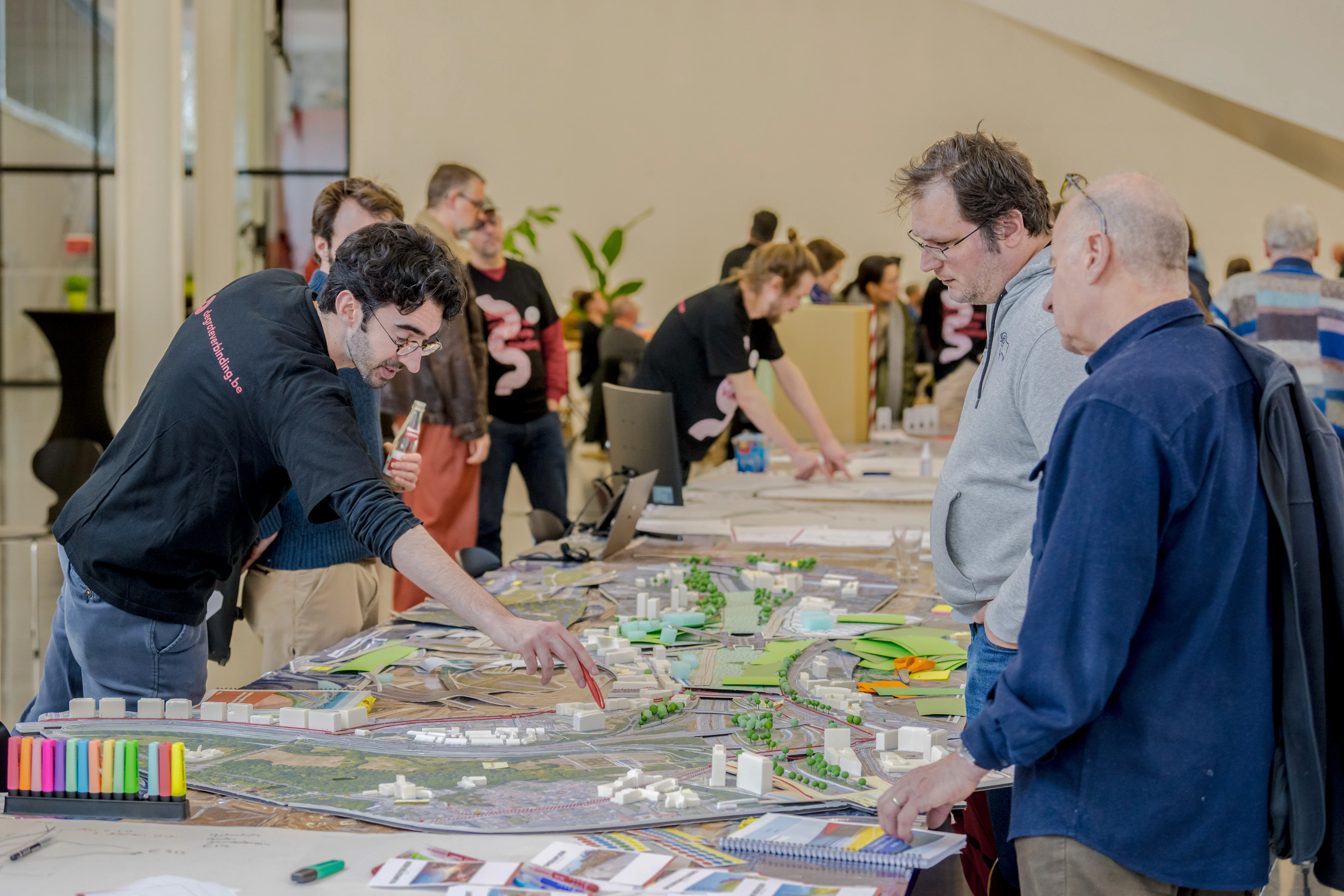
Team intendant answering questions on the project during Ring Day - Capping of the Ring in Antwerp, Belgium

GIS tool - Public Space Manual in Brussels, Belgium

Workshop session on possible projects - Regional infrastructure and mobility investment catalogue in Ghent, Belgium

Atlas program map - Design for Public Value at Sea in the Belgian North sea

Interactive tool code - Mobility Optimization Calculator in Flanders, Belgium